|
About half way between Woodside and Green River, the road
along the river bank is closed and has been for so many years it is completely
gone where high water washed it away.
The main road crosses the river.
|
The water depth was barely bumper height when we crossed but
thats a low water mark for the Price River.
It could be real fun earlier in the year or after a rain storm.
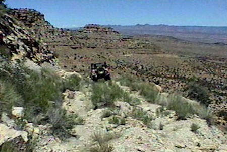
From that point on, the road became more interesting. It switched back and forth working its way
toward Mt. Elliott. Thats where our
trip ended, but well be back. We
rounded a curve and found the ledge road had been completely washed away. Blue Moon and I decided it could be repaired
enough to get our vehicles through, but we did not have the time on that
day. We used the GPS to determine our
exact position and found we were only half way between the river and top of
Beckwith Plateau. This would make a
great Wild Bunch Weekend, but we must get back there before the Wilderness Bill
shuts it down. The problem with doing
that is its not near anything else. We
spent the rest of the day exploring all other potential accesses into the area
bordering the Green River for one hundred miles north and south. All of it has been closed mostly due to lack
of use.
Happy Trails!
|